26 June 2009

Fuerteventura 6: Morro Jable, Playa de Sotavento

Day 5 was a long but wonderful day. We started without breakfast (!) around 7 a.m. as there was a long drive ahead of us to the other side of the island, its southernmost tip. We breezed past Puerto del Rosario, across the inland and reached the sea again around Tarajalejo. From there the relatively empty road took us past Costa Calma towards the biggest resort town in the south, Morro Jable, where we stopped and stretched our legs. The place has a wide avenue with palm trees lined with numerous hotels on one side and the beach on the other.


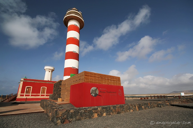
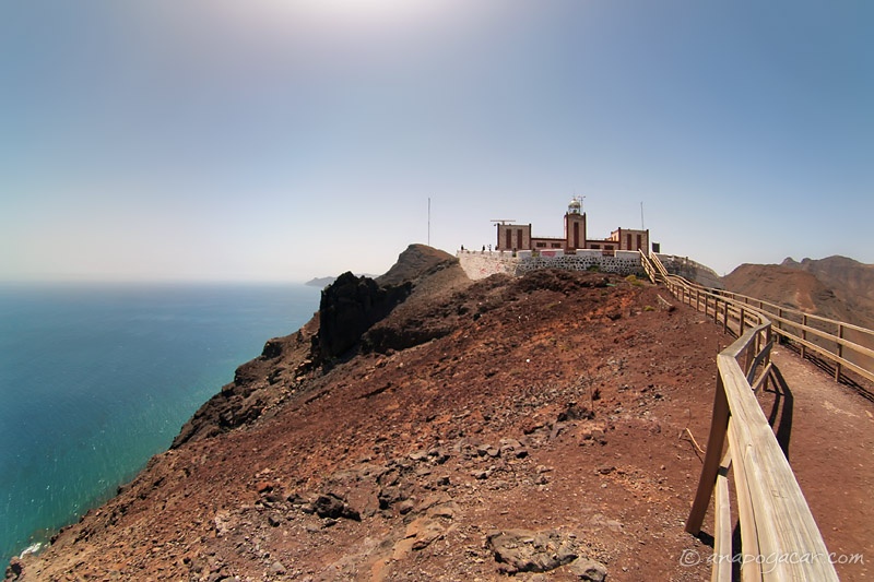
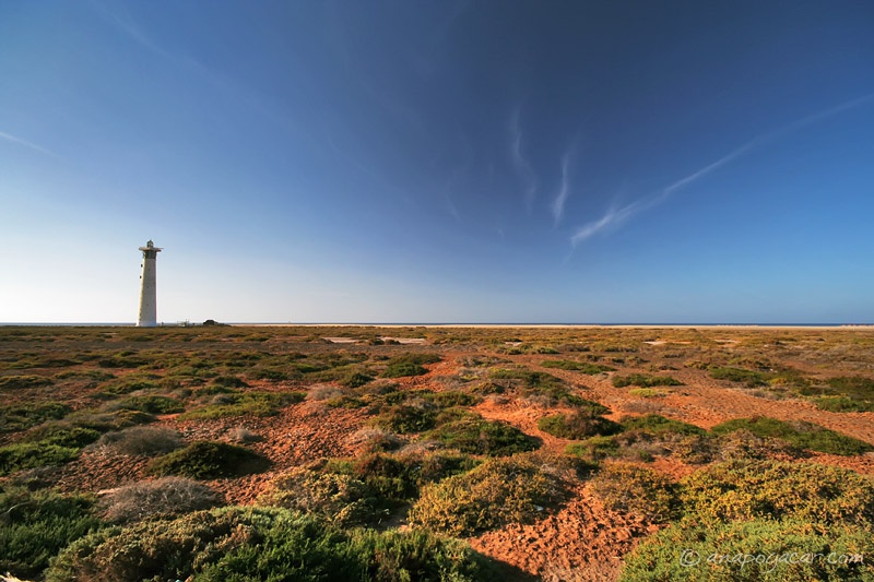
There is a wide belt of salt marshes between the town and the beach with a wooden walkway leading across it and to a white lighthouse.

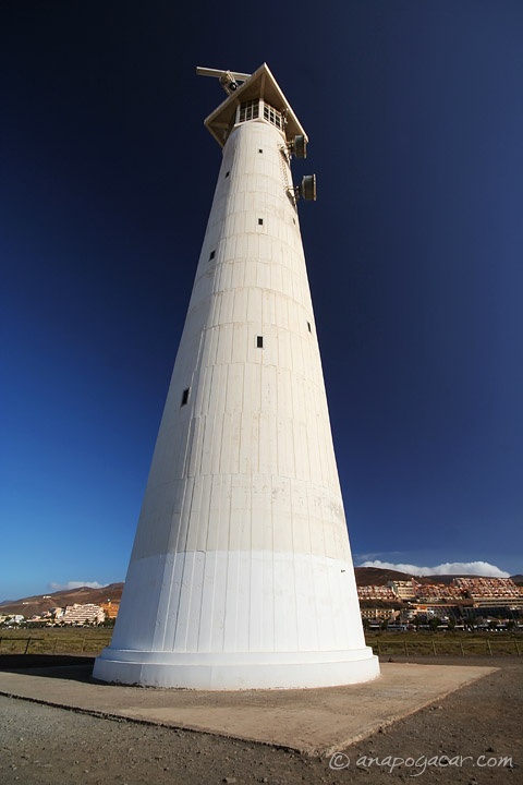
The lighthouse with the hotels of Morro Jable in the background.

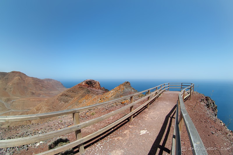
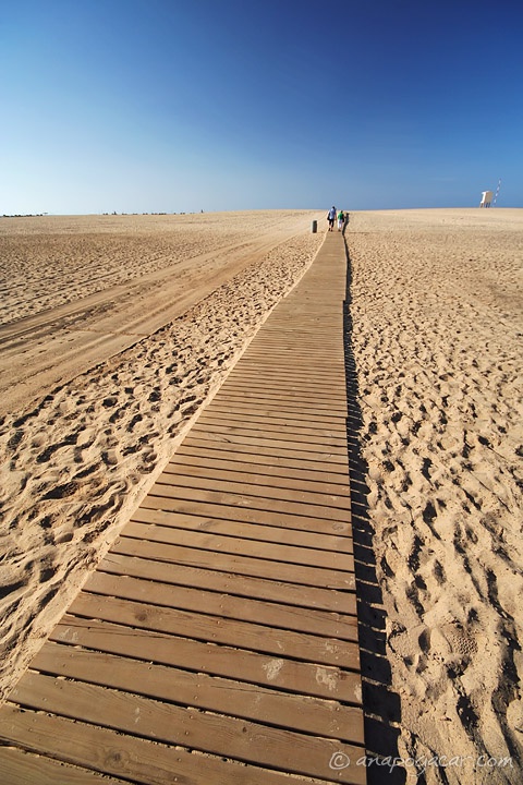
From the lighthouse there is another walkway across the sand. Poor tourists can't walk on sand, it gets into their fancy shoes, so let's help them with this path! :p The walkway, btw, wobbles really badly and it's very easy to lose balance.

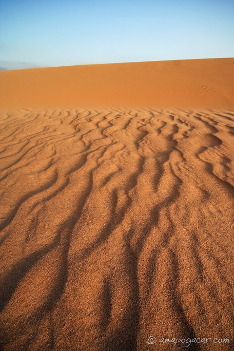
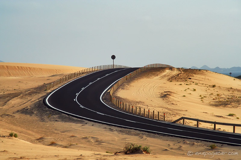
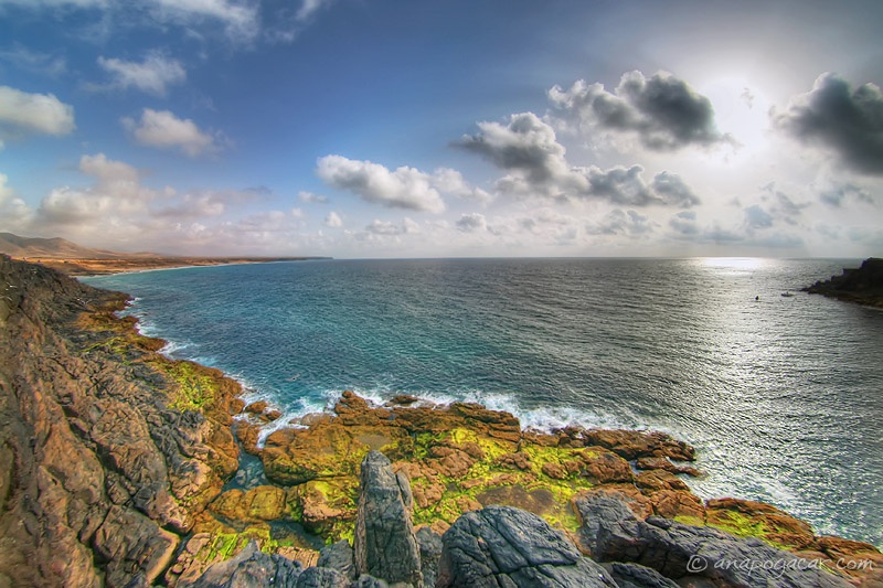
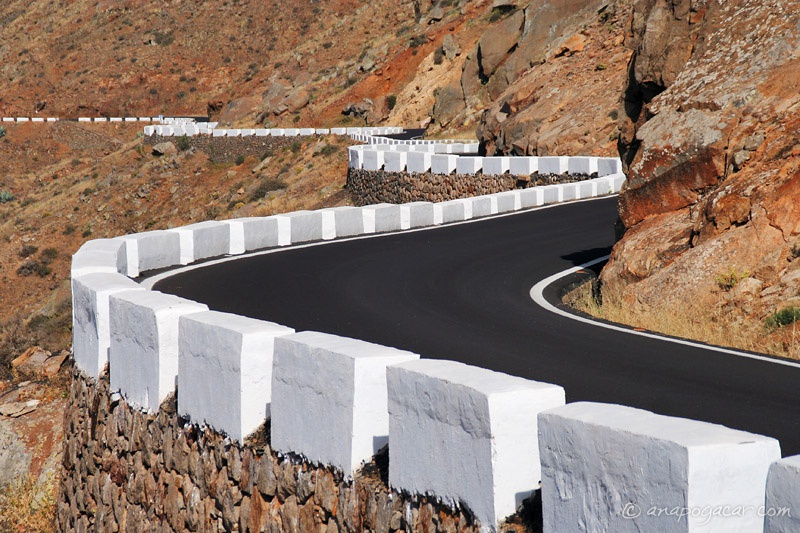
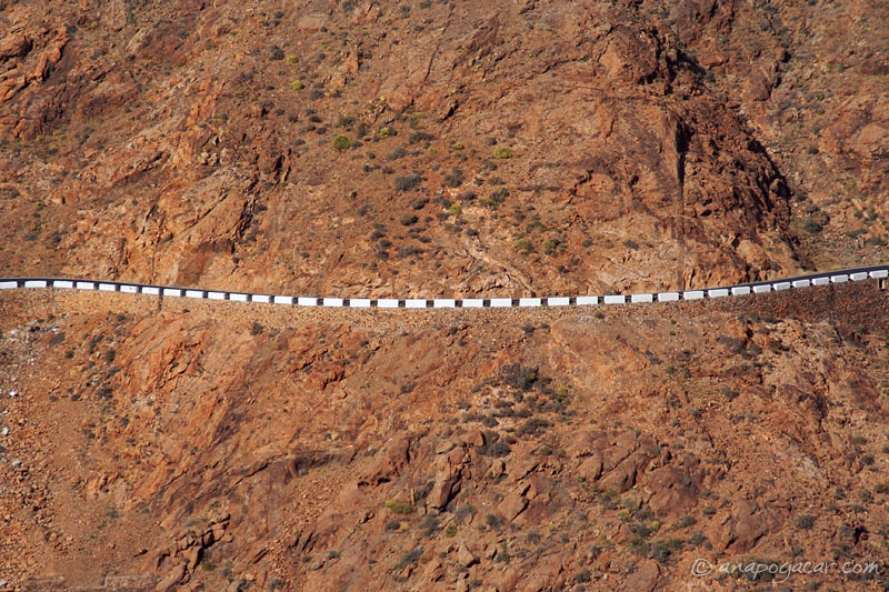
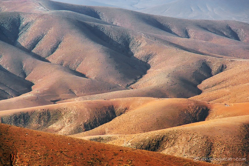
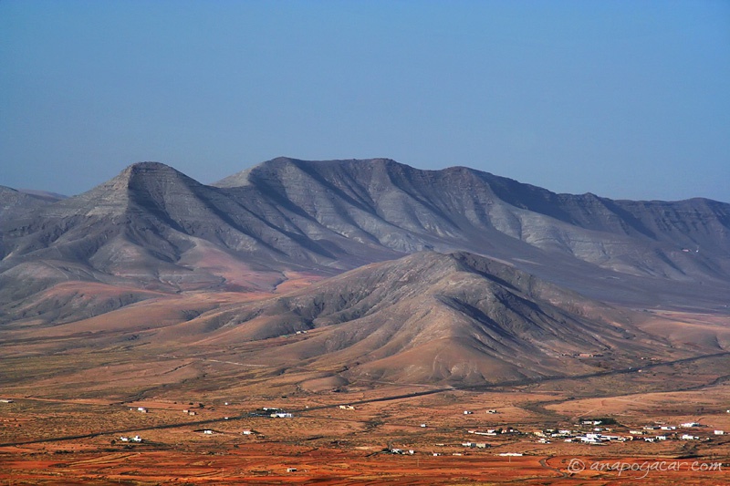
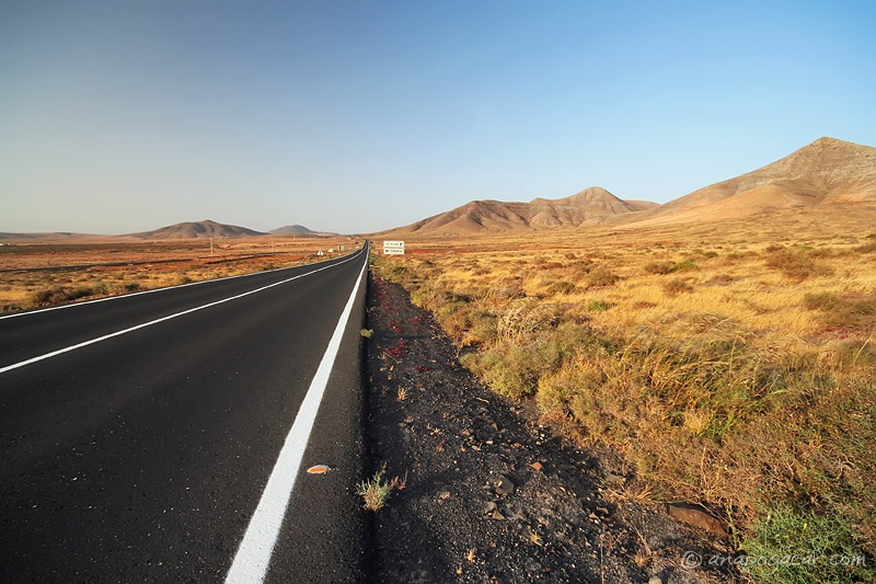
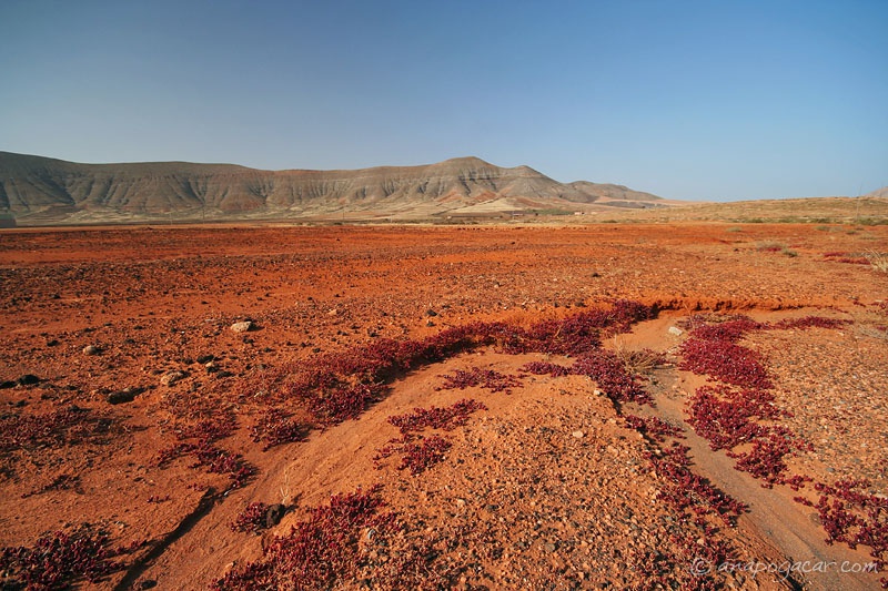
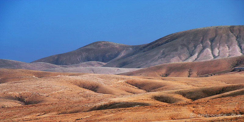
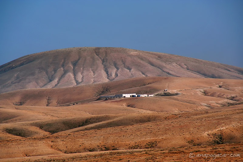
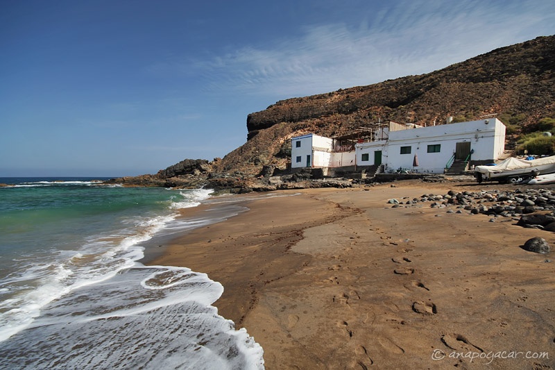
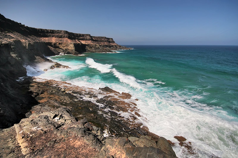
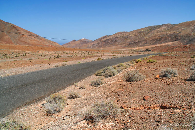
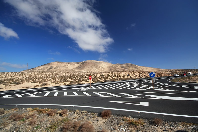
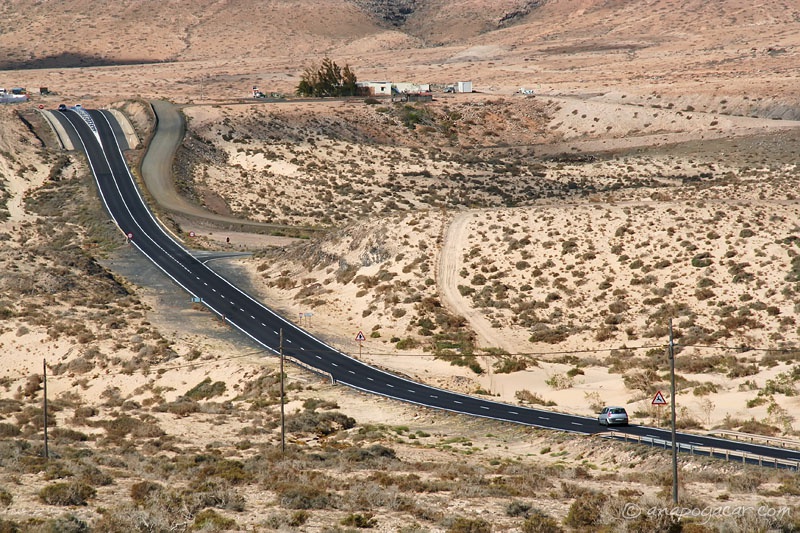
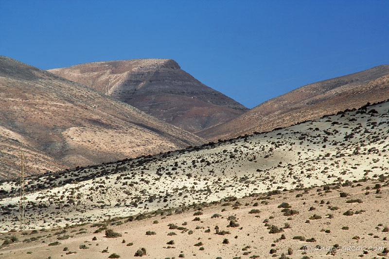
Soon we were bored with the urban beach, so we headed back north along the shore to find a perfect sandy beach with turquoise water. The landscape on the way was out of this world.


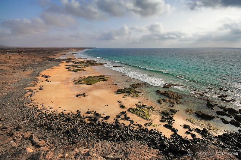
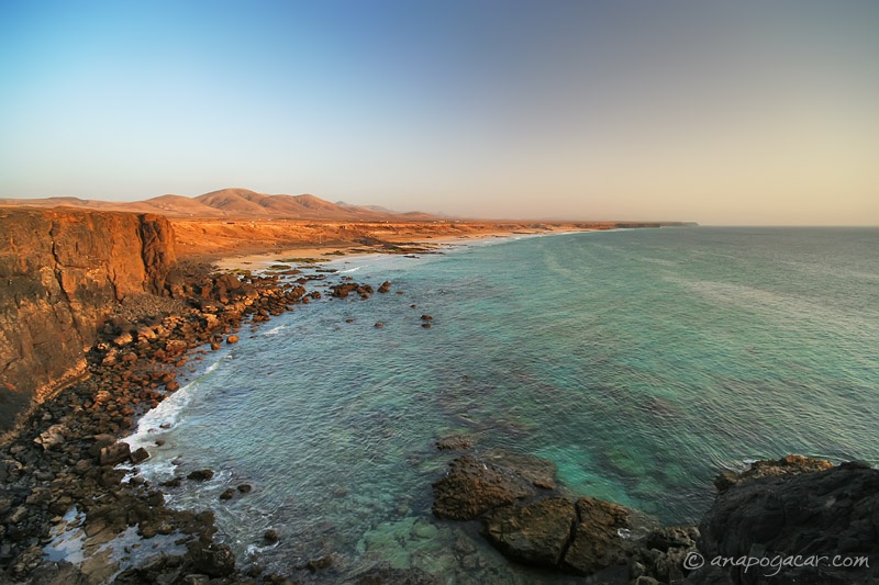
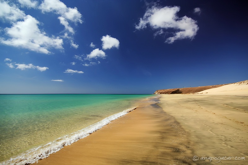
And there it was, a couple of kilometers off the main road, our perfect beach.

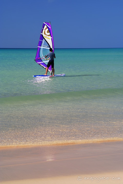
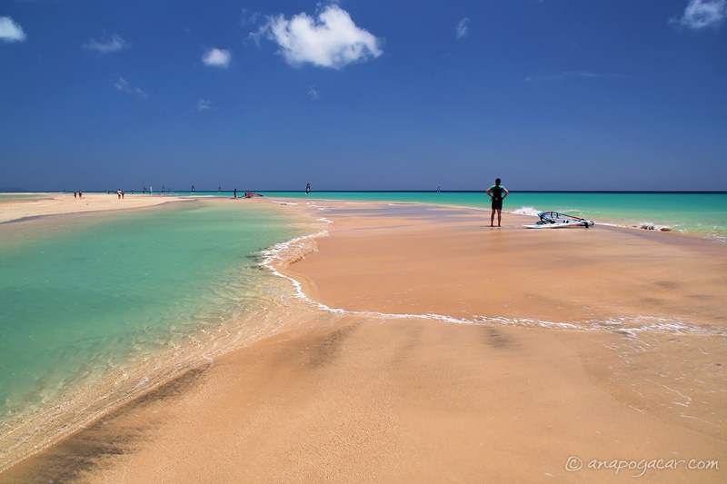
The whole stretch of the shore, known as Playa de Sotavento, is a popular windsurfing spot.

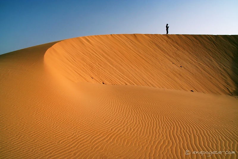
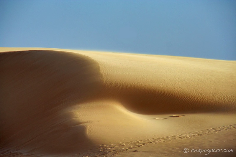
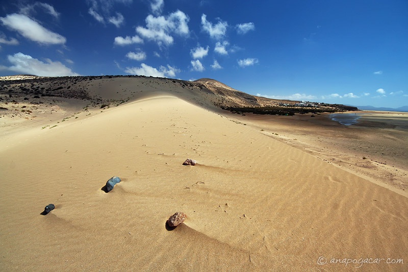
There is a dune on the beach with nice views of the area.


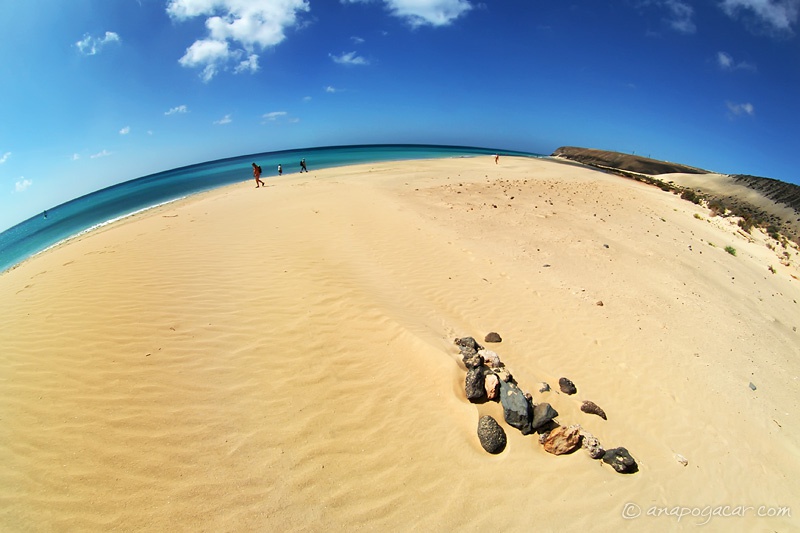
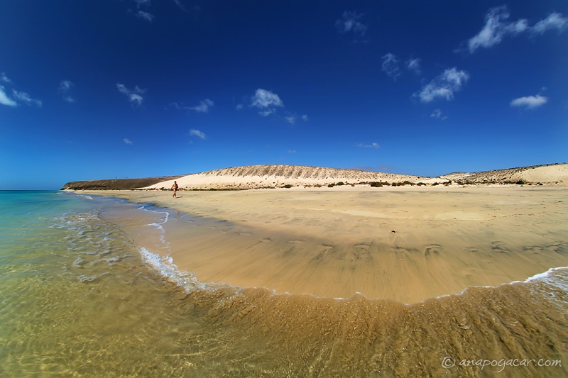
There were a few people on the beach but as it is so long it appears almost deserted.

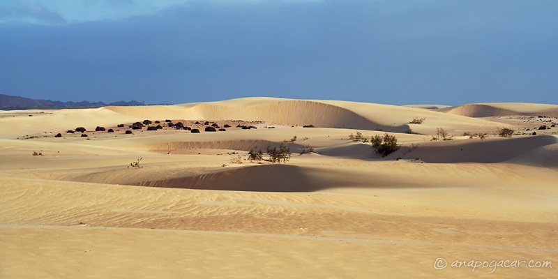
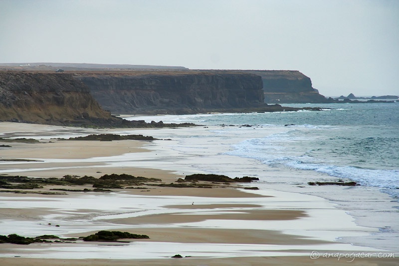
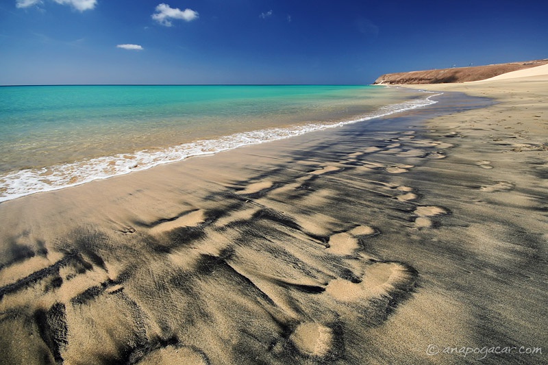
The residues of some black stuff leaves interesting patterns in the sand.

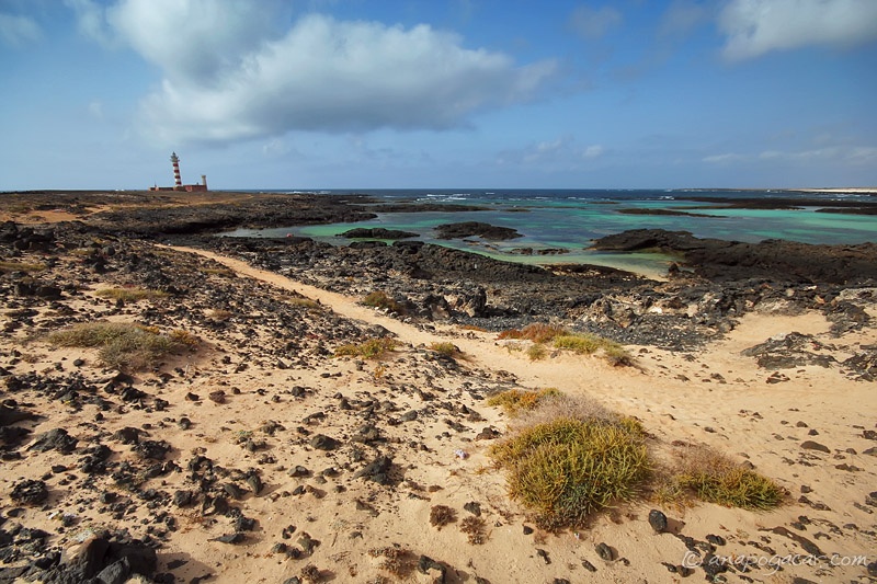
The tidal action is also very intriguing. When the tide comes in, it floods vast areas of the sandy beach, creating different tidepools each time.

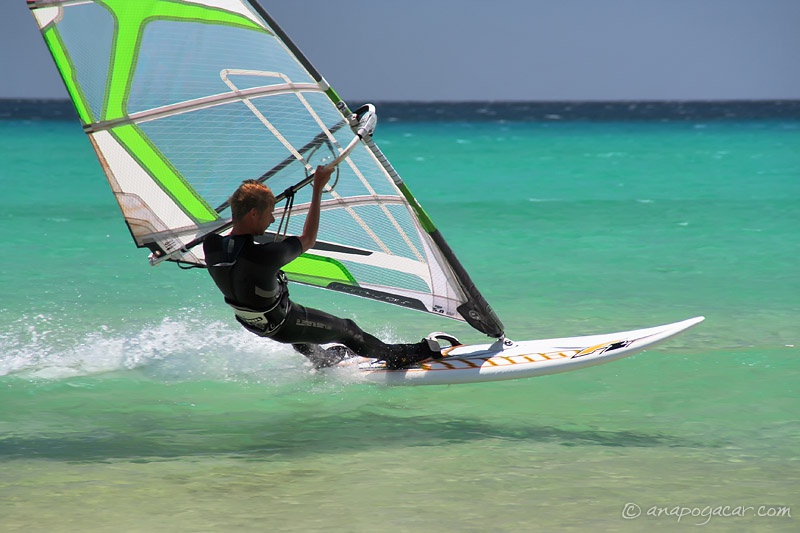
Just sitting on the beach, watching windsurfers glide past can occupy you for hours.

To be continued ...

21 June 2009

Fuerteventura 5: Desert Sunrise, Around El Cotillo

Sunrises proved to be not that spectacular at all. There were mists in the air making the sun very weak until it rose high above the horizon. Of course, we didn't know that until we tried our luck in the Corralejo desert. :)


The road leading from Corralejo to the south along the eastern coast looks something like this. Great surface but high shoulders, which make it impossible to stop anywhere but at designated parking spots.

In the afternoon we explored the area around El Cottilo, which we had seen a glimpse of the day before. Our first stop was Majanicho, a hamlet of maybe a dozen houses.

The area in the northern part of Fuerteventura is arid (no surprise there) and a few volcanic hills can be seen in the distance.

The only green thing we saw was this cactus ...

... with pretty long thorns.

At the northwestern tip of the island near El Cotillo there is a red and white lighthouse called Faro del Tostón. The bay next to it offers a number of small coves with calm waters, perfect for swimming.

There is also a museum, but it was closed when we were there.

El Cotillo is marked by impressive cliffs and sand beaches that extend toward the horizon.

As almost any place we visited it was deserted. Well, almost deserted. I think I saw a few people strolling along the shore. :)

Cliffs in the distance.

Another great day was over and we sped back to Corralejo to catch dinner. We got there at the last minute! :)

To be continued ...

20 June 2009

Fuerteventura 4: Around Betancuria

After exploring part of the eastern coast we drove across "one of the most scenic passes on the whole island" as Lonely Planet suggested. First the road lined with white blocks ascends from the town of Pájara across some rolling red hills. It's impossible to stop anywhere along the narrow road except at a few designated lookouts.


One of the lookouts is frequented by these little ground squirrels, which come running when they hear cars pulling over knowing they will probably get some food from tourists.

The village of Vega del Río de Palmas offered the same phenomenon as the rest of the settlements on the island: it was deserted. No people in sight. I have no idea where everybody was, but seriously, it seemed like the place is completely abandoned.

From Betancuria we climbed to another pass where two men in thongs guarded the area. :) Looking at them with a mixture of awe and amusement we temporarily forgot about the fantastic views. ;)

And the views were fantastic indeed.


Driving home in the sweet light was frustrating at times because the high road shoulders make it almost impossible to stop anywhere along the road.

We made a short stop at El Cottilo, a town in the northwest of the island, to shoot the high cliffs.

To be continued ...

12 June 2009

Fuerteventura 3: Moonscapes, Los Molinos, Giant Lighthouse

Fuerteventura is one of the driest Canary Islands. Its landscapes are dominated by rock and sand while vegetation is very sparse. Which is exactly what I love! :) And did I mention it has magnificent beaches of all kinds?

We started our third day by driving first through a small town of La Oliva and admiring the red hills and moonscapes in its vicinity.


Local population has always exploited constant wind. Many windmills can be seen around the island.

Los Molinos is a small hamlet on the west coast, situated in a cove and hammered with waves.


Typical architecture: white walls and green (or blue) doors and windows.

Well, some houses are even made of stone. They do, however, have an antenna. :)

In the harshest light possible we explored a Wild-West-like valley and saw a giant structure on a hill in front of us. We had no idea what it was ...

... but as it turned out, the road climbed straight to it - and there it was, an impressive lighthouse on top of a 200-meter-high cliff.


Gravel roads far below.

To be continued ...